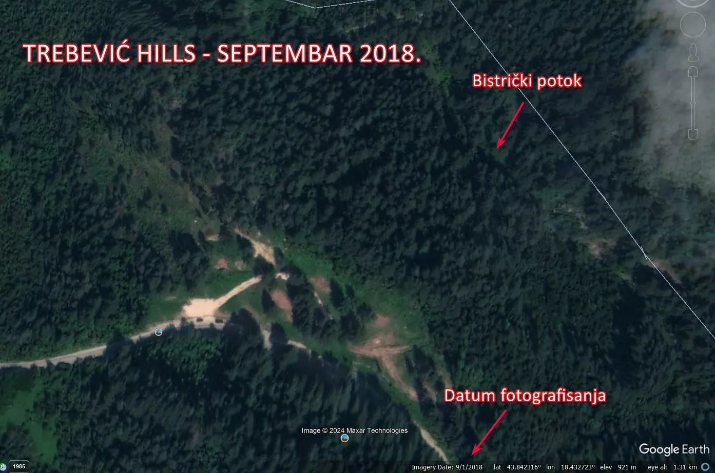
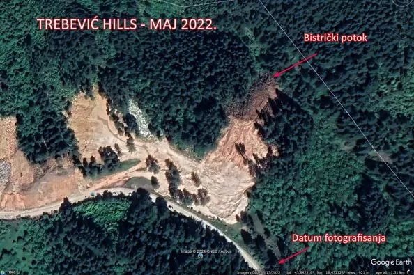
(Patria) - Satellite images show that before the start of the Trebević Hills construction, the area around Bistrički potok was a dense, untouched forest.
What else is untrue in their statement, ask from Eko akcija, then citing part of the Trebević Hills statement:
"Footage from Bistrički potok shows that there are certain parts of cut trees and stones in it, which we found in the state they have been in for years. Namely, these are elements that were used from 1992 to 1995 during the fortification of trenches, ditches and bunkers. The demarcation line was located precisely at the places where these recordings were made. This is also visible from their shape, and these elements are no longer than two meters, with a diameter no larger than 25 centimeters. These are not parts of trees that were located a year ago at the construction site. Therefore, the dominant part of the material in the stream does not have an origin that can be linked to our activities."
Eko akcija has published satellite images showing the state of Bistrički potok in 2018 and 2022.
The difference is evident.
Komentari (0)
Prijavite se za komentiranje
PrijavaJos nema komentara. Budite prvi!
Minuta
Sve →Iz drugih kategorija

High Representative Not Elected: Germans, French and British Against Americans, New Attempt at End of June

ČOVIĆ WITHOUT MERCY: How Those Who Brought Ademović to Office Created a Political Hell for Him



Sunny Saturday, quite warm


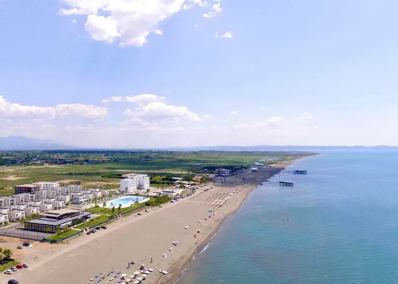
Tragedy in Albanian resort: Two minors drown