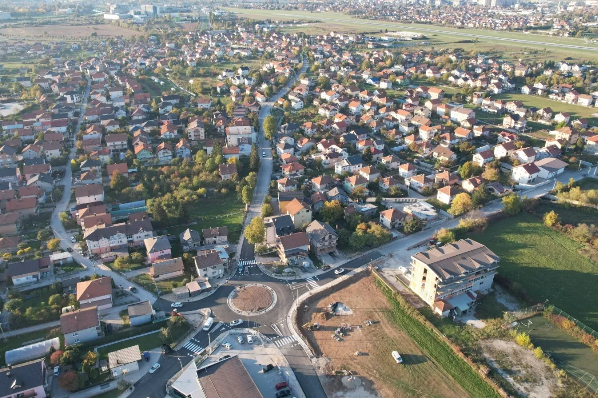
(Patria) - With the aim of harmonizing cadastral data on position, shape, area, and land use between the field and the cadastral records, the Federal Administration for Geodetic and Property Affairs and the Municipality of Ilidža have initiated the cadastral survey renewal process.
The renewal of the cadastral survey through aerial photography in the area of the Municipality of Ilidža represents the first concrete response of this local community to citizens' problems related to records and real estate, boundaries, areas, duplicate entries, and similar issues.
Following a series of activities to implement one of the most important projects in the history of the Municipality of Ilidža, the renewal of the cadastral survey for the cadastral municipality (K.O.) Vlakovo was fully completed on July 27 this year, and a new database for K.O. Vlakovo was put into use on September 12.
Aerial surveys have already been completed for K.O. Osjek and K.O. Blažuj, and final preparations for the exposition process are underway, while aerial surveys for the cadastral municipalities of Hrasnica and Butmir are scheduled for November.
The Municipality of Ilidža has published a Notice on the renewal of the cadastral survey in the areas of the cadastral municipalities of Butmir and Hrasnica on its website, which is available at this link.
Along with clear instructions for landowners on how to mark boundaries, the Municipality of Ilidža announced that the deadline for marking boundaries is November 1, 2023, at the latest.
Komentari (0)
Prijavite se za komentiranje
PrijavaJos nema komentara. Budite prvi!
Minuta
Sve →Iz drugih kategorija
High Representative Not Elected: Germans, French and British Sabotaged Americans, New Attempt at End of June

ČOVIĆ WITHOUT MERCY: How Those Who Brought Ademović to Office Created a Political Hell for Him


Sunny Saturday, quite warm
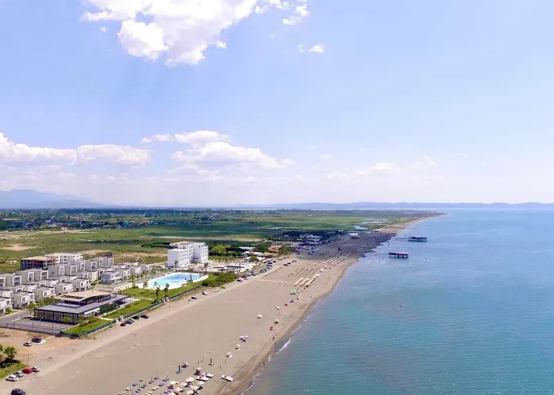
Tragedy in Albanian resort: Two minors drown