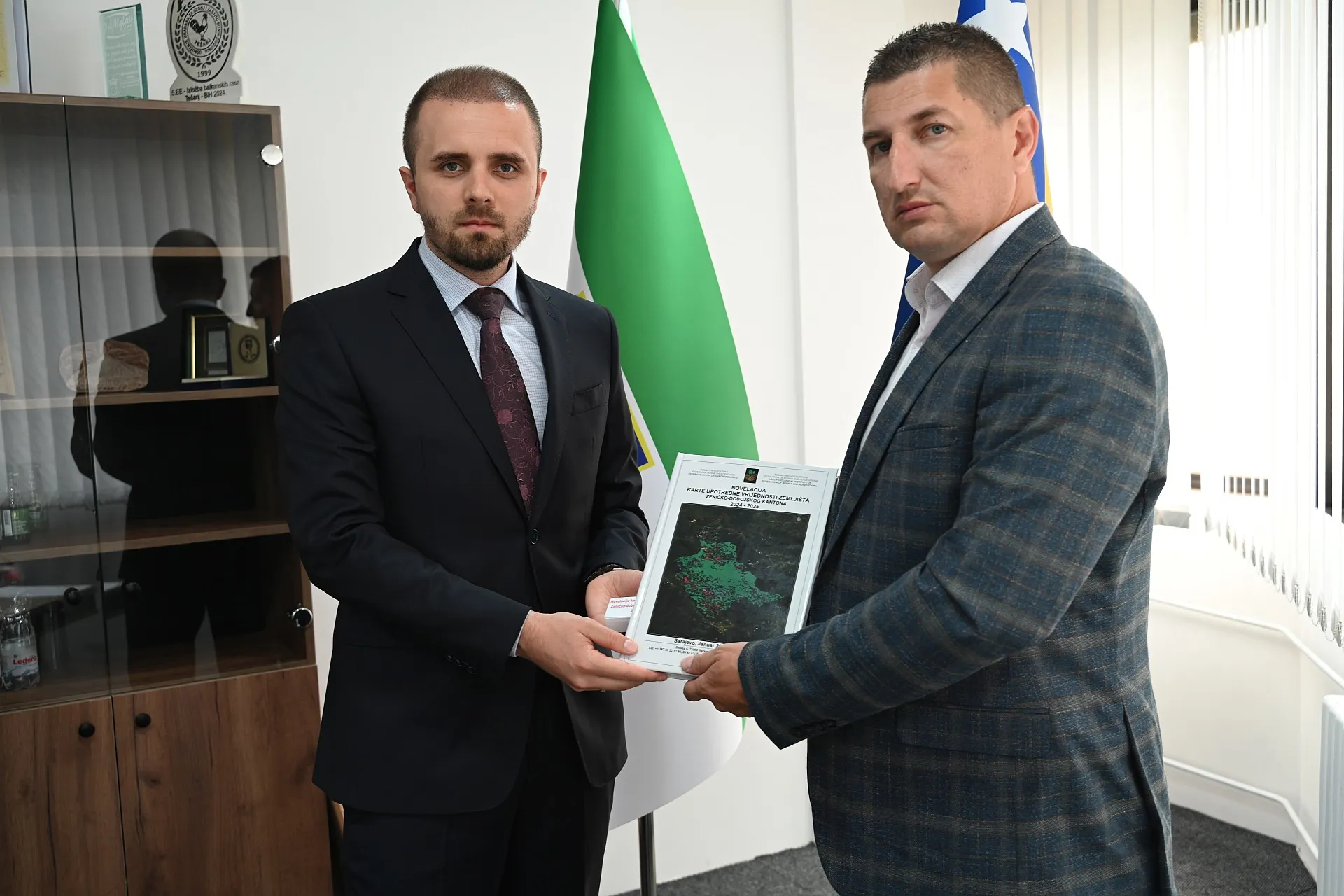
(Patria) - A meeting was held today at the premises of the Ministry of Agriculture, Forestry and Water Management of Zenica-Doboj Canton, where the handover of the Novelization of the Land Use Value Map for the ZDK area was completed.
This is a project implemented by the Federal Institute for Agropedology from Sarajevo, in cooperation with the Ministry, with the aim of creating an updated and modern map that will serve as a basis for further planning of development and management of the Canton's land resources.
The Ministry of Agriculture, Forestry and Water Management of ZDK has achieved intensive cooperation with the Federal Institute for Agropedology during the past period, which resulted in the creation of the Project Task "Novelization of the Land Use Value Map", and today the Director of the Institute, Dženan Vukotić, officially handed over the completed map to Minister Jasmin Čajić.
Extensive field and laboratory research was conducted within the project implementation. Field visits were carried out in all municipalities and cities in the Canton, using orthophoto and satellite imagery, as well as other cartographic materials, to precisely determine land use.
Detailed pedological research was carried out in the field, including soil sampling at about 300 selected locations, as well as soil sampling for the analysis of its physical and chemical properties. Special attention was paid to testing the presence of organic and inorganic pollutants, including soil analysis along main roads.
The land use value map defines the natural potentials of the land, including bonitation categories and agro-zones, and represents a key tool for planning agricultural production and protecting land resources.
– This map represents the basis for future planning of our canton's development and its spatial planning. Its application will enable the making of higher quality and more realistic decisions in the field of land management, abandoning outdated data from the previous period – said the Minister of Agriculture, Forestry and Water Management, Jasmin Čajić.
Through the creation of this novelization, a modern database based on a geographic information system (GIS) and modern remote sensing methods has been established, which allows for detailed analysis of land condition, identification of damage, and its valorization.
The new land use value map will represent an important foundation for the rational use, protection, and improvement of land resources, applying the principles of sustainable and ecological agriculture.
Komentari (0)
Prijavite se za komentiranje
PrijavaJos nema komentara. Budite prvi!
Minuta
Sve →Iz drugih kategorija
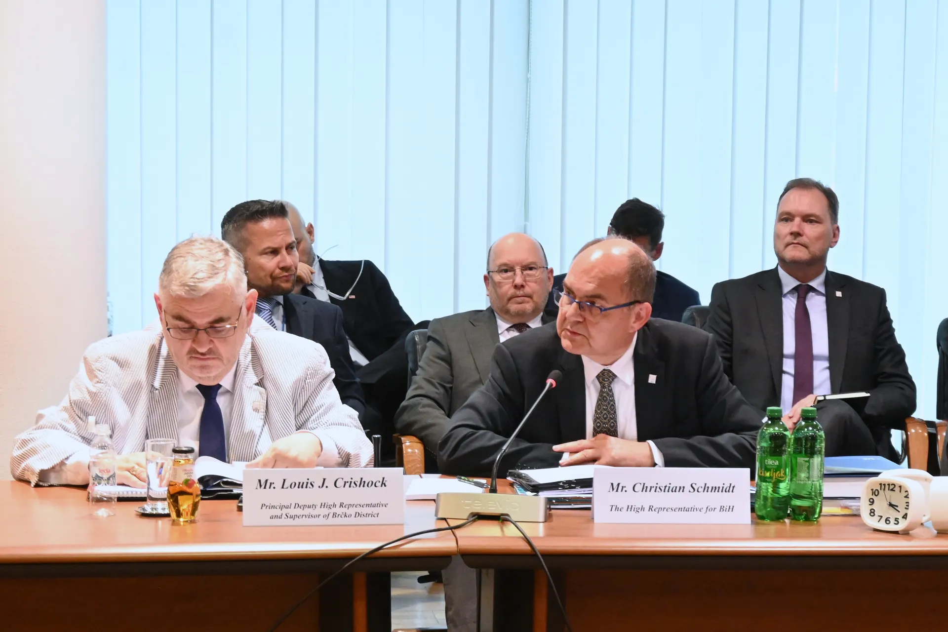
High Representative Not Elected: Germans, French and British Against Americans, New Attempt at End of June

ČOVIĆ WITHOUT MERCY: How Those Who Brought Ademović to Office Created a Political Hell for Him


Sunny Saturday, quite warm

Tragedy in Albanian resort: Two minors drown