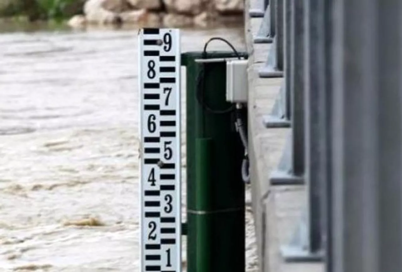
(Patria) - The water level at the Modrac hydro-accumulation lake dam this morning was 200.54 meters above sea level and is six centimeters higher than measured 24 hours ago, it was announced today from the Operational Headquarters of the Cantonal Civil Protection Administration of Tuzla.
The water level at the dam is 54 centimeters higher than the spill point, which for this accumulation is 200 meters above sea level.
The water level of the Spreča River at the Karanovac measuring point near Gračanica is 418 centimeters, and compared to the measurement 24 hours ago, the water level is rising by 7.5 centimeters, while the preparatory state for flood defense is 300 centimeters.
Due to snow, snowfall, rainfall, and the discharge of water from the Modrac hydro-accumulation, the Spreča River has currently flooded about 250 hectares of agricultural land in the areas from Miričina to Stjepan Polje, two weekend houses, and several field roads.
The Civil Protection has also been notified of the flooding of a residential building by rainwater in the settlement of Ritašići.
In the area of Gradačac, the water levels of river flows are decreasing, so the water has returned to its beds in most places, but there are still flooded agricultural areas.
The water levels of the Spreča River and local watercourses in the area of the municipality of Doboj Istok are rising, and about 240 hectares of agricultural and other land are under water, and several business and other facilities are threatened.
In the area of Srebrenik, the yard of a religious building in the settlement of Potpeć has been flooded, as well as a large area of agricultural land in the area of the settlement of Špionica.
Due to heavy rains and snowmelt in the area of the municipality of Kladanj, the Drinjača River is at a height of 150 centimeters and is still rising, while in the area of the settlement of Stupari, a significant rise in the Gostelja and Suha rivers is observed.
The Suha River has reached a critical level and has washed away the bypass road that serves as an alternative route due to the construction of a bridge.
Most streams have taken on a torrential flow, a large number of manholes, culverts, canals, and other drains are clogged, and the torrential streams have caused water to overflow onto the main road.
In the area of the municipality of Kalesija, in the settlement of Tojšići, a residential building is threatened by the overflow of a local river.
In the area of Živinice, agricultural land of about 40 hectares has been flooded, and the settlement of Strašanj is the most endangered.
All water levels in the area of Živinice are rising, which has led to difficulties in traffic flow on the regional road Ljubače – Suha, so in the coming period, traffic will be banned on this route.
Komentari (0)
Prijavite se za komentiranje
PrijavaJos nema komentara. Budite prvi!
Minuta
Sve →Iz drugih kategorija

High Representative Not Elected: Germans, French and British Against Americans, New Attempt at End of June

ČOVIĆ WITHOUT MERCY: How Those Who Brought Ademović to Office Created a Political Hell for Him



Sunny Saturday, quite warm


Tragedy in Albanian resort: Two minors drown