
(Patria) - Accuweather meteorological service yesterday gave its European seasonal forecast for the summer of 2019.
"I've been looking at this picture for the last two hours and I have to say that their calculation makes sense, with a few question marks along the way. So, this is NOT my calculation, but the calculation of the well-known weather service Accuweather," announced amateur meteorologist Nedim Sladić.
We are presenting his analysis in its entirety:
"The colors themselves tell the whole story, and that is that Europe faces a rather hot summer, with the probability of summer heat and heatwaves being highest this time in the area of southwestern and central Europe, while in the somewhat "milder" eastern Mediterranean, stronger, more volatile thunderstorms can be expected, which includes our part of the region. What catches the eye is the potentially dry period in most of Europe (which, for example, CIC (Climate Impact Company) hinted at in its texts in April), so the jet stream itself would be pushed somewhat further north. And here I have my first question mark because, looking at the rough overview of teleconnections of the NAO index for the upcoming period, it would, according to certain predictions, remain mostly neutral or negative, and the AO index also negative, which is a complete contrast to 2018 when these factors were markedly positive during the summer, so it was not surprising that the Atlantic was blocked by cyclonic influences last summer when Western and Northern Europe literally baked for three months under extremely high air temperatures, and there was no Greenland anticyclonic block due to the AO+ index, below which there would be a low-pressure area, which is usually the case with the AO- factor.
There is a significant difference here, with Scandinavia experiencing considerably milder heat compared to last year's record and fire-prone summer, which would suggest the possibility of more moisture over Scandinavia this summer. In the circumstances seen by Accuweather, Britain faces another dry summer, which is in a way a repeat of two consecutive dry summers that last occurred here in 1975 and 1976.
However, when looking at things from another angle, this part of the eastern Mediterranean and our region will actually be quite warm, often hot, and unlike 2018, this area will not be spared from occasional and short heatwaves, and it is clear that the heat is accompanied by excess thermal energy for the development of vertical cloudiness that causes stronger thunderstorms. Considering the factor that the ground south of Hungary to western Turkey is mostly quite moist after the May rains, it is clear that the conditions for the development of prolonged and extreme heatwaves in this area, as in 2012, are negated, and with the evaporation of moisture from the soil, the development of convective processes is likely.
I am more or less sure about Central Europe, as ECMWF also predicted drought for them, so I expect a wide high-pressure area over Central Europe extending from the west as part of the Azores anticyclone, allowing for stable and dry weather conditions in this part. Therefore, it is not surprising that in the dry conditions predicted for Austria and Switzerland, there are increased risks of forest fires.
What particularly surprised me is the moderation predicted for Italy and North Africa, which I am accustomed to seeing colored red "by default" in previous years. I am also losing my signals for analysis over Italy because this is my second question mark on the map. At first glance, I would say that there is a certain smaller area of instability over this region, probably an upper-level cyclonic circulation somewhere south of Italy (around the Tyrrhenian Sea) that would disrupt stronger heatwave developments and enhance the influence of instability over southern and southeastern Europe. When I speak generally about the eastern Mediterranean, interpreting their calculation, I most suspect an upper-level cyclone around the Aegean part of Greece and Turkey, considering that ECMWF calculated something similar in its May output, where signals for a wetter summer are more pronounced.
Be that as it may, time will tell what awaits us. We will wait for early June and our Institutes and their analyses. I would say that this summer could easily be a "summer in two parts" - the first part somewhat more unstable, warmer, and wetter, and the second part drier and hotter. I wouldn't throw around return sequences too much; at first glance, looking at the picture, I would say there are some similarities with 2009, as I mentioned "summer in two parts," which is how I remember the summer of 2009. However, I really wouldn't throw around these finer details too much, as it is a seasonal calculation that is prone to changes anyway. Such a forecast should only be taken as an orientation," wrote Sladić.
Komentari (0)
Prijavite se za komentiranje
PrijavaJos nema komentara. Budite prvi!
Minuta
Sve →Iz drugih kategorija
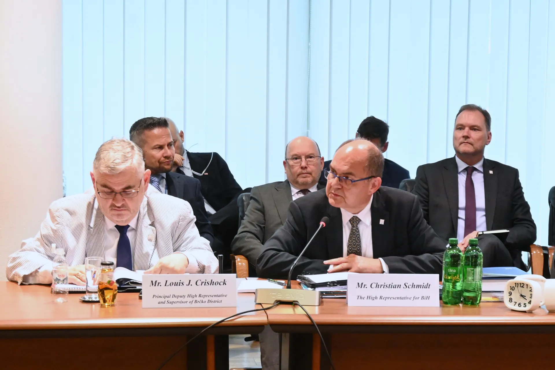
High Representative Not Elected: Germans, French and British Against Americans, New Attempt at End of June

ČOVIĆ WITHOUT MERCY: How Those Who Brought Ademović to Office Created a Political Hell for Him

Sunny Saturday, quite warm
Tragedy in Albanian resort: Two minors drown