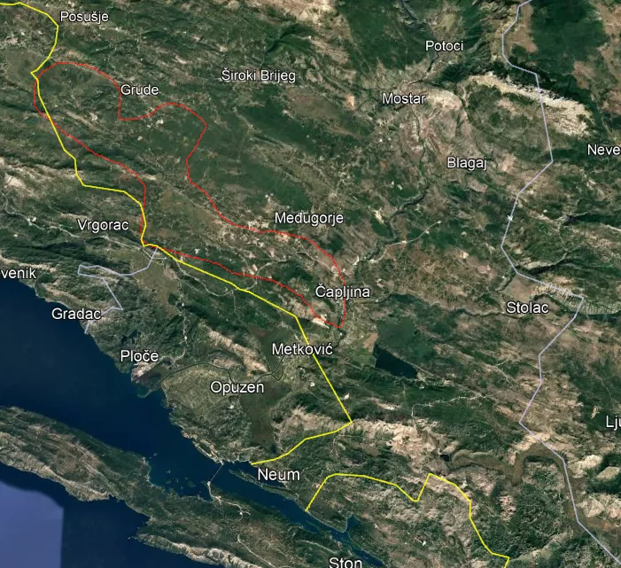
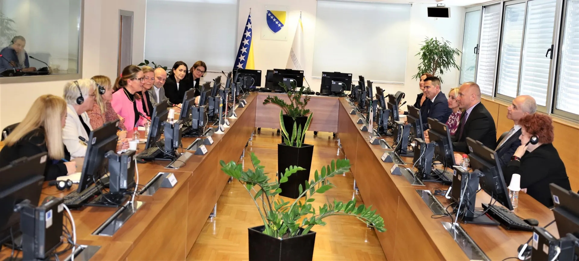
(Patria) - At the proposal of the ERCC – Emergency Response Coordination Centre within the European Union Civil Protection Mechanism, the Ministry of Security of Bosnia and Herzegovina has accepted an additional satellite imaging zone in the Trebižat river area as part of the Copernicus EMS Rapid Mapping service.
The Ministry of Security of Bosnia and Herzegovina, through the Operational-Communication Centre of Bosnia and Herzegovina – 112, is in constant contact with entity and cantonal civil protection administrations and continuously monitors the situation on the ground.
We once again appeal to citizens and protection and rescue services, especially in areas along waterways, to act with increased caution, follow official information and instructions from competent institutions, and adhere to recommended protective measures.
Komentari (0)
Prijavite se za komentiranje
PrijavaJos nema komentara. Budite prvi!
Minuta
Sve →Iz drugih kategorija
High Representative Not Elected: Germans, French and British Against Americans, New Attempt at End of June

ČOVIĆ WITHOUT MERCY: How Those Who Brought Ademović to Office Created a Political Hell for Him


Sunny Saturday, quite warm



Tragedy in Albanian resort: Two minors drown