(Patria) - The winding lines of state borders that zigzag across the European map sometimes follow the contours of rivers and mountain ranges, and sometimes are the result of turbulent disputes and wars.
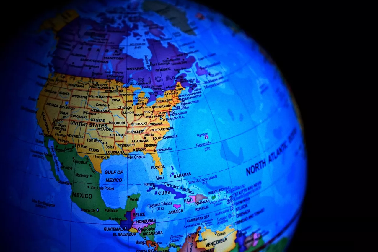
And in the west of the world, the story is quite different. The map of the USA, with states that look like puzzle pieces, is teeming with straight lines.
There are also state borders that follow navigable rivers, such as the Mississippi, Ohio or Colorado, but these are exceptions to the rule, writes Punkufer.
Without much thought, many will say that the appearance of American borders certainly has to do with the colonists who settled the new continent long ago - and they would be right, but the story is not that simple.
The first inhabitants of the American continent consisted of tribes, confederations and city-states, and each of these groups considered a certain area their homeland.
Their borders were not always clearly defined; rather, territories were described as areas between certain mountains and rivers.
Where does the border go?
In the era of colonialism, most people living in areas owned by the French, Spanish and English did not care about the borders that the colonists agreed among themselves. Often, they would not even meet their masters.
Mark Stein, author of the book "How the States Got Their Shapes," vividly described the situation at the time: "American territory of France extended westward as far as a Frenchman could go without being shot by a Spaniard, and likewise northward without being shot by an Englishman."
Just like everyone else, the English also made claims for defining the borders of their territory in the style of - from this line of latitude to that line of latitude, from the Atlantic to the Pacific Ocean.
Then expeditions got to work and established miniature settlements to justify the claims. As a rule, the borders of the English colonies were systematically changed and refined.
Unlike the Spanish or French, the English opened the tap and began sending more and more colonists to the New World. Wave after wave, people needed more and more land to live on.
This led to conflicts with the people on whose land they would settle, and consequently, disagreements among the colonies due to overlapping territories.
Decisions about where one colony's area ended and another began were made by people on the other side of the ocean, whose only knowledge of the American continent came from inaccurate maps drawn based on vague reports from explorers and traders.
Given all this, it is not surprising that the British authorities would usually just draw a straight line and call it a border.
Something for everyone
After the Americans became independent, things became even more complicated. One of the major disputes arose from disagreements over the vast fertile land between the Ohio River and the Great Lakes - Connecticut, Massachusetts, New York and Virginia all laid claim to it.
The matter was resolved by a compromise under which all these states relinquished their claims in favor of creating the Northwest Territory.
A key point of the agreement determined that parts of the area, once settled by a sufficient number of people, would separate into a new state. Thus, Ohio, Indiana, Illinois, Michigan, Wisconsin and Minnesota were created.
This pattern continued with the expansion of states westward: after claims, Congress would establish a territorial government, and when enough people settled there, a new state would be declared.
Of course, not everything went smoothly: Texas protested that they were independent before joining the United States. California, on the other hand, was created thanks to the Gold Rush of 1849, which gathered a large enough population with enough wealth to make demands that Congress could not ignore.
Sadly, for much of the 19th century, Oklahoma was a land intended for the forced relocation of tribes that had been expelled from their homelands.
Congress's decision
Straight borders result from Congress's decision to ensure each new state approximately equal natural resources, such as fertile land, access to waterways, or gold, silver, or copper mines. This is why western states are usually larger than eastern ones.
Since there is less water and available arable land in the west, this meant they needed more territory to secure more natural resources in order to thrive.
As the nation expanded, Congress determined state borders accordingly. Although this all sounds very good and commendable, politicians did not study in detail the research of surveyors, geologists and other experts to carefully craft detailed state borders - when a straight line was good enough, they saw no need to complicate things.
Since it was easiest to set borders as a grid, that is what they did - except where there was an obvious obstacle, such as a large river or mountain range. And that is America!
Komentari (0)
Prijavite se za komentiranje
PrijavaJos nema komentara. Budite prvi!
Minuta
Sve →Iz drugih kategorija

High Representative Not Elected: Germans, French and British Against Americans, New Attempt at End of June

ČOVIĆ WITHOUT MERCY: How Those Who Brought Ademović to Office Created a Political Hell for Him



Sunny Saturday, quite warm


Tragedy in Albanian resort: Two minors drown