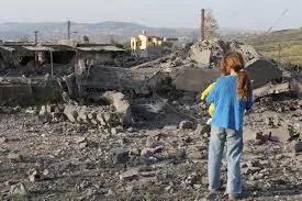
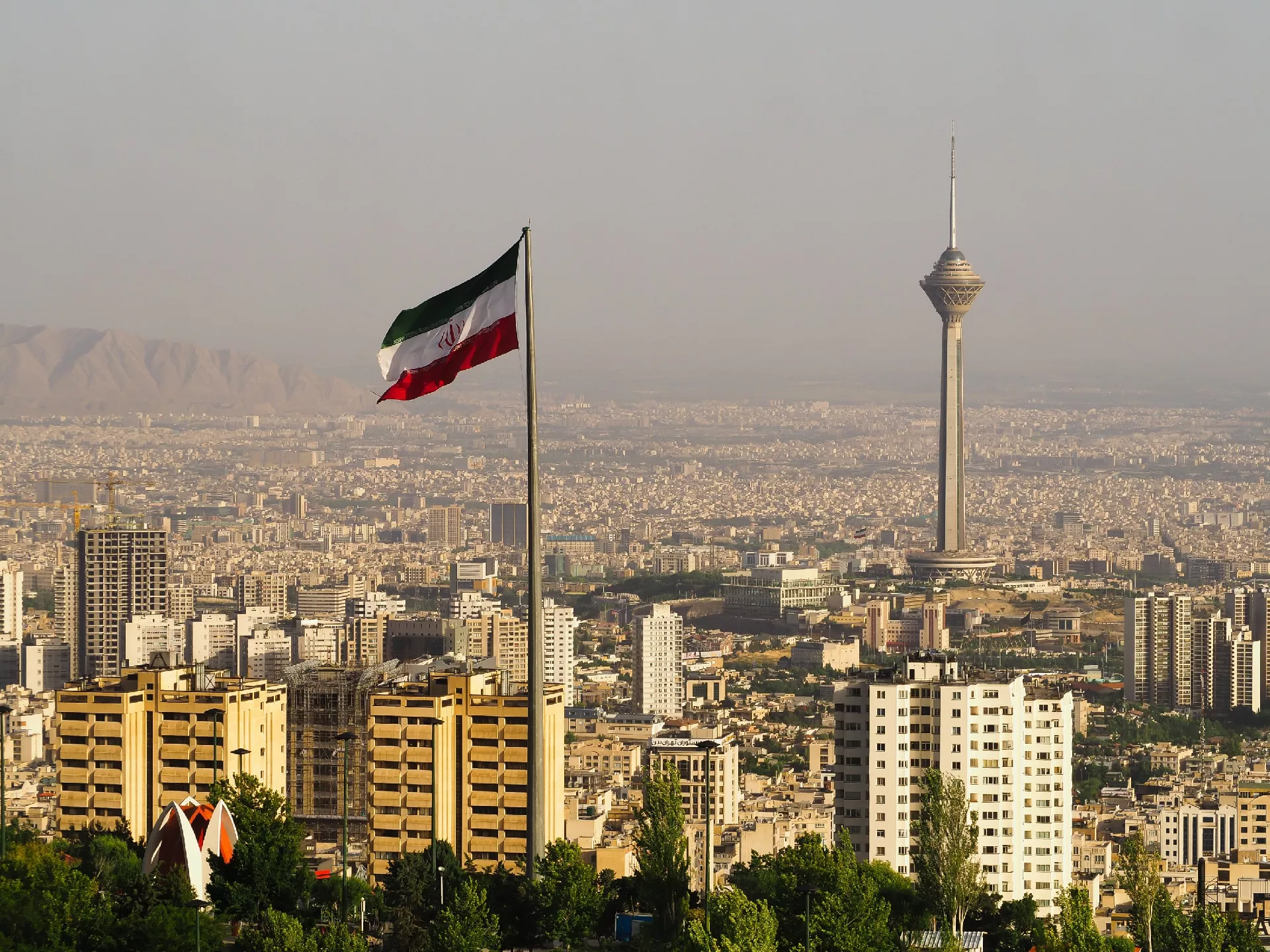
(Patria) - American firm Planet Labs PBC announced it is imposing a two-week delay on access to its satellite imagery of the Middle East due to the US-Israeli war against Iran, AFP reported.
Both major US satellite firms, Planet and Vantor, are delaying or blocking the release of imagery from the Middle East due to the war that broke out on February 28 with US-Israeli attacks on Iran.
Planet, based in California, imposed a ninety-six-hour delay last week on access to high-resolution imagery, which is usually available a few hours after it is taken.
"Following consultations with experts inside and outside the government... Planet has decided to take additional, proactive measures to ensure our imagery is not tactically exploited by adversarial actors to target allied and NATO partner personnel and civilians," the statement said.
From now on, coverage of "all of Iran and nearby allied bases, in addition to the Gulf states and existing conflict zones" will be blocked for fourteen days, it stated.
Planet, a company founded in 2010 by former NASA scientists, whose imagery is widely used by media and researchers, did not state whether the decision was made in response to an official request from the United States.
Important for the media
For the zone extending from Egypt to the Gulf states, Turkey, and Djibouti, the latest photos released by Planet date back to March 6.
According to US legislation, any company based in the United States dealing with high-resolution satellite imagery may be subject to restrictions for national security or foreign policy reasons.
Vantor (formerly Maxar), an industry leader, has a long-standing policy of not distributing photos of US or allied bases, and denied in a statement that it acted on government orders.
"During geopolitical conflicts, Vantor may implement enhanced access controls to prevent the misuse of sensitive geospatial intelligence and help protect allied forces and civilians," it stated.
"These controls may include limiting who can task new imagery or purchase historical imagery over areas where US, NATO, and other allied and partner forces are actively operating, as well as over areas actively targeted by adversaries."
Vantor said it "independently determines" the controls.
"These decisions are not mandated by any government, military organization, or third party."
During the Israeli war against Hamas in Gaza, which began in October 2023 and lasted until the ceasefire last October, Planet imposed a thirty-day delay while maintaining extensive coverage of the territory.
Many media outlets, including AFP, use satellite imagery from sources such as Planet and Vantor to report on major conflicts, including Ukraine, Gaza, or the civil war in Sudan, where access on the ground is difficult or practically impossible.
Komentari (0)
Prijavite se za komentiranje
PrijavaJos nema komentara. Budite prvi!
Minuta
Sve →Iz drugih kategorija

High Representative Not Elected: Germans, French and British Sabotaged Americans, New Attempt at End of June

ČOVIĆ WITHOUT MERCY: How Those Who Brought Ademović to Office Created a Political Hell for Him



Sunny Saturday, quite warm



Tragedy in Albanian resort: Two minors drown